I created this video from my walk to the top in May 2019 (Drone: DJI Spark)
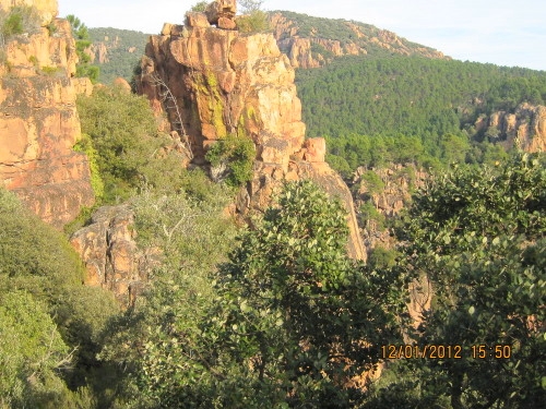
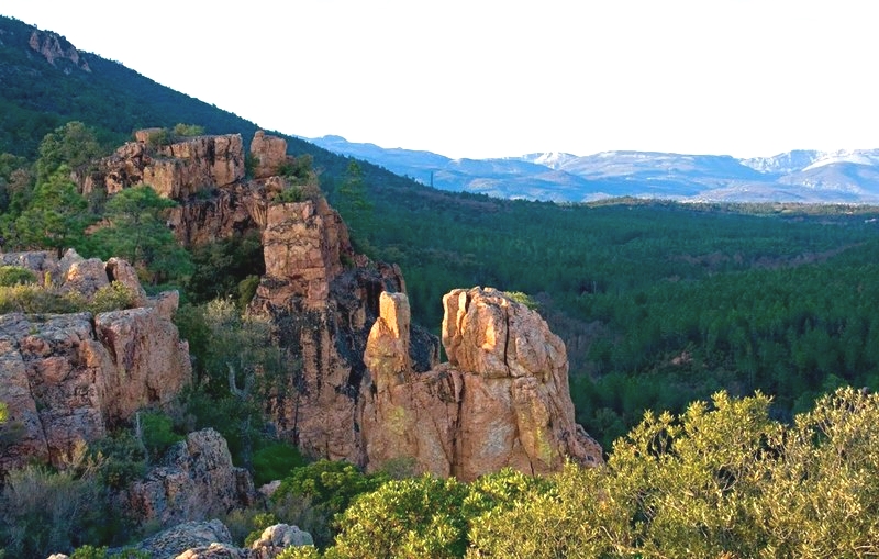
Starting only a 5 minute drive from La Bouverie, this is very much a “walk-to-the-top-of-the-mountain” trail, where you can enjoy breathtaking views of the mountainside and landscape. The walk does not take very long, only 30 – 40 minutes to get to the top depending on your speed. But be aware that the trail goes up, up, up… It is not a dangerous or particularly steep trail, but it does require a certain amount of stamina. But you will get the reward at the viewpoint! Here is online map with navigation to the starting point where you will find small parking lot.
Online Map for the trail
Important note: We recommend that you have available this map online on your phone, since you need to divert from the trail to the right at the correct time in order to find the best viewpoint. This part of the trail is not very well marked, and it helps to have the map available online for the exact place to divert from the trail.
Gallery